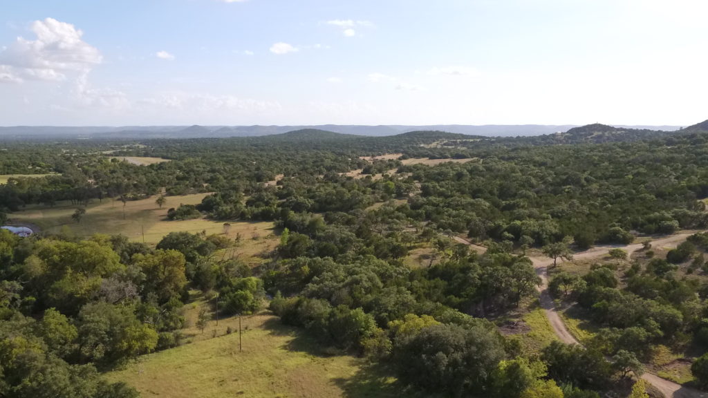
Chaparral employs among the strongest and most sophisticated technology available to accurately map and photograph property from a prospective most have not seen. Chaparral Mapping & Consulting LLC is licensed and insured, so you can rest easy knowing that whatever project you might want executed is done legally, safely, and accurately.
Chaparral provides professional quality aerial videos and photos for:
- Real Estate Listings
- Landowners
- Crop Inspections
- Vegetation and Brush Management Surveys
- Animal Population Counts
- And Much More!
Ground Based Photography
Integrated with our aerial services, Chaparral also provides professional grade ground based photography and videos.
We provide ground based services for:
- Real Estate Photography/Videography
- Wildlife and Landscape
- And More!

Have Something Particular in Mind?
Please let us know! Our services are completely customizable!